About Sodus Bay/Landmarks

To the East-
Charles Point- just to the east of the break walls. This is actually a small island that is connected to the mainland via crescent beach. Along with crescent beach, this forms a peninsula that separates Sodus Bay from the lake. The water is very shallow off this point. It is best to give it a wide berth.
Crescent Beach. The small peninsula that connects Charles point to the eastern-most part of Sodus Bay.
Lake Bluff- About 1.6 miles to the east. This is the first visible bluff, a great place for early season browns.
Perch Point- 2.4 miles to the east. This prominent point is a great trout spot. However, BEWARE as the water gets VERY shallow on the west side of the point. Do NOT troll too close or you will hit a rock. It is best to take a very wide swing, if trolling from the west, until you get well east of the point.
Chimney Bluffs- 3 miles to the east. The most prominent bluff to the east of Sodus bay, and possibly the entire lake. This formation is ever changing and different from year to year. Due to the sand, this area gets some of the best water color for near shore fishing.
East Bay- 4 miles to the east, the first major water outflow. not navigable by boat, this often needs to be excavated to keep it open.
Port Bay- 7 miles to the east.
Fair Haven Bay (AKA little Sodus Bay)- 14 miles to the east.
To the West-
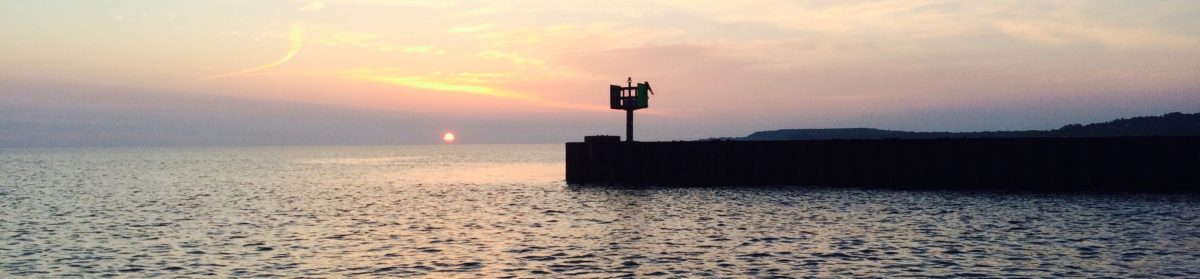
the old lighthouse- 0.6 miles to the west.
The trailer park- 1.8 miles to the west. The trailer park is up on a high hill/bluff.
Maxwell Creek- 2.7 miles west. This is the first major tributary to the west, and major spawning tributary for trout. There is a bluff just east of this that can offer very good fishing. BEWARE, as the water is very shallow just west of the outflow of the creek.
Sprongs Bluff- 3.1 miles west, just past Maxwell Creek.
Boller Point- 3.6 miles west. This is the first major point to the west, and great structure for trout.
Freedom Hill- 4.8 miles west. This bluff is one of the more prominent landmarks to the west of Sodus, and great structure to fish near.
The L shaped Peir- 5.3 miles west, at the end of Dufloo Rd.
Bootleggers point- 6.7 miles west, the northernmost point on the eastern end of the lake.
Hughes Marina/Fairbanks Point- 8.5 miles west, the closest port to the west.
Pultneyville- 10.5 miles west.